Norris Geyser Basin and Firehole Canyon
6 / 9
On day 5 in Yellowstone, we woke to a cold, rainy morning and debated the day's plans. We decided to skip the park, and explore the town of West Yellowstone 17 miles away. As we started heading that way, I noticed the steady stream of cars heading into the park from the West Entrance, with people clearly undeterred by the weather. I didn’t know exactly what the entrance looked like today, but I'd heard of cars sometimes snaking for miles. All of a sudden I was struck with fear, and I told Danny, “Turn around. We don’t know if we can get back in!” With no cell signal, checking the entrance webcam was not on the table. Plan B: head north to Norris Geyser Basin, hoping the weather would clear.
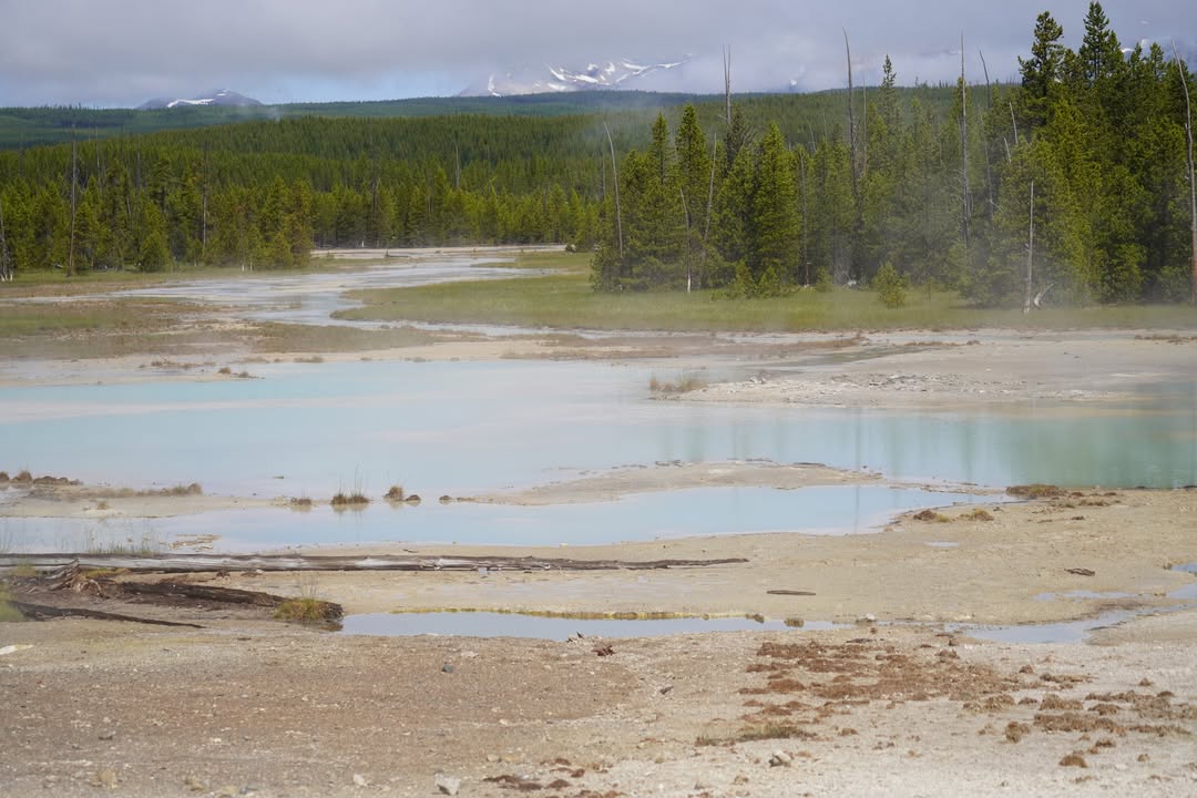
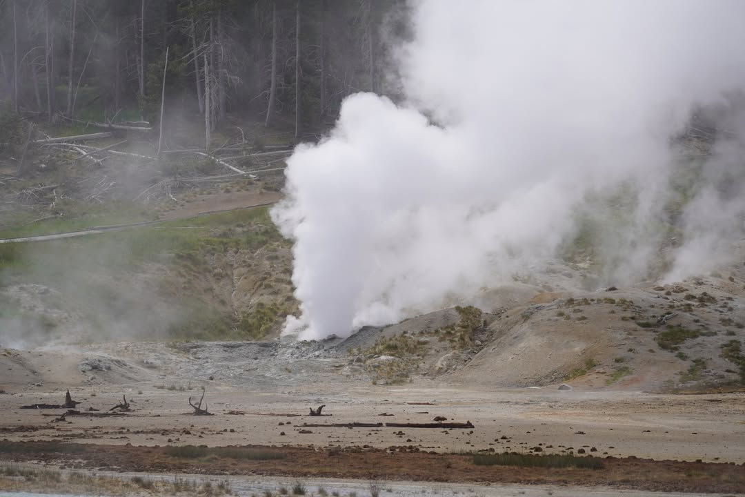
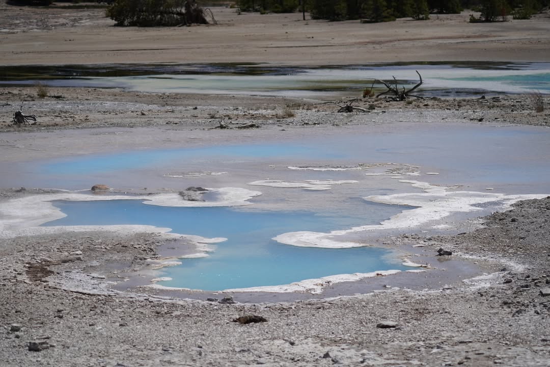
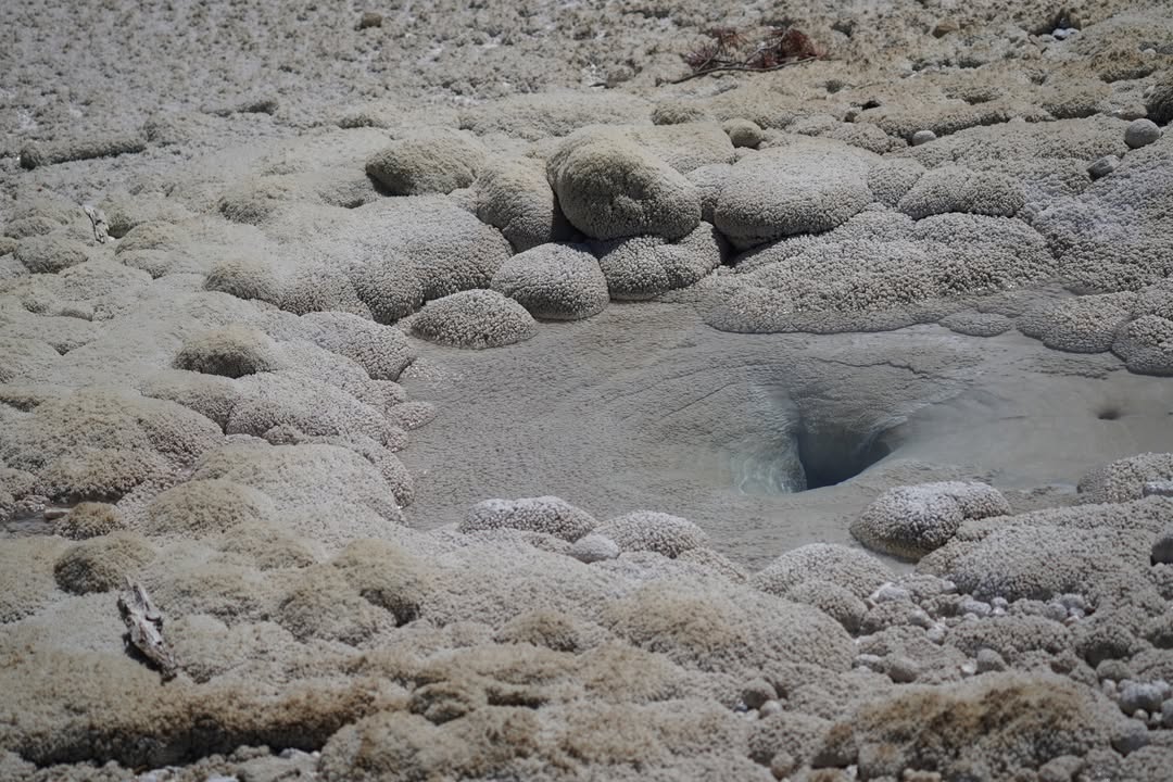
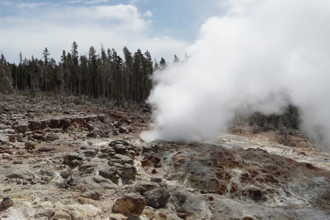
By the time we arrived, the rain had stopped. The parking lot was full, but we snagged a spot as someone pulled out. Lucky break. Norris Geyser Basin is one of the most studied geothermal areas in the world. It’s the oldest, hottest, and most dynamic basin in Yellowstone. Temperatures underground have been recorded at over 450 degrees, and surface features constantly shift, expand, or even vanish. It’s home to Yellowstone’s tallest geyser, Steamboat, and one of the few acid geysers in the world, Echinus. The place is a geologist’s dream.
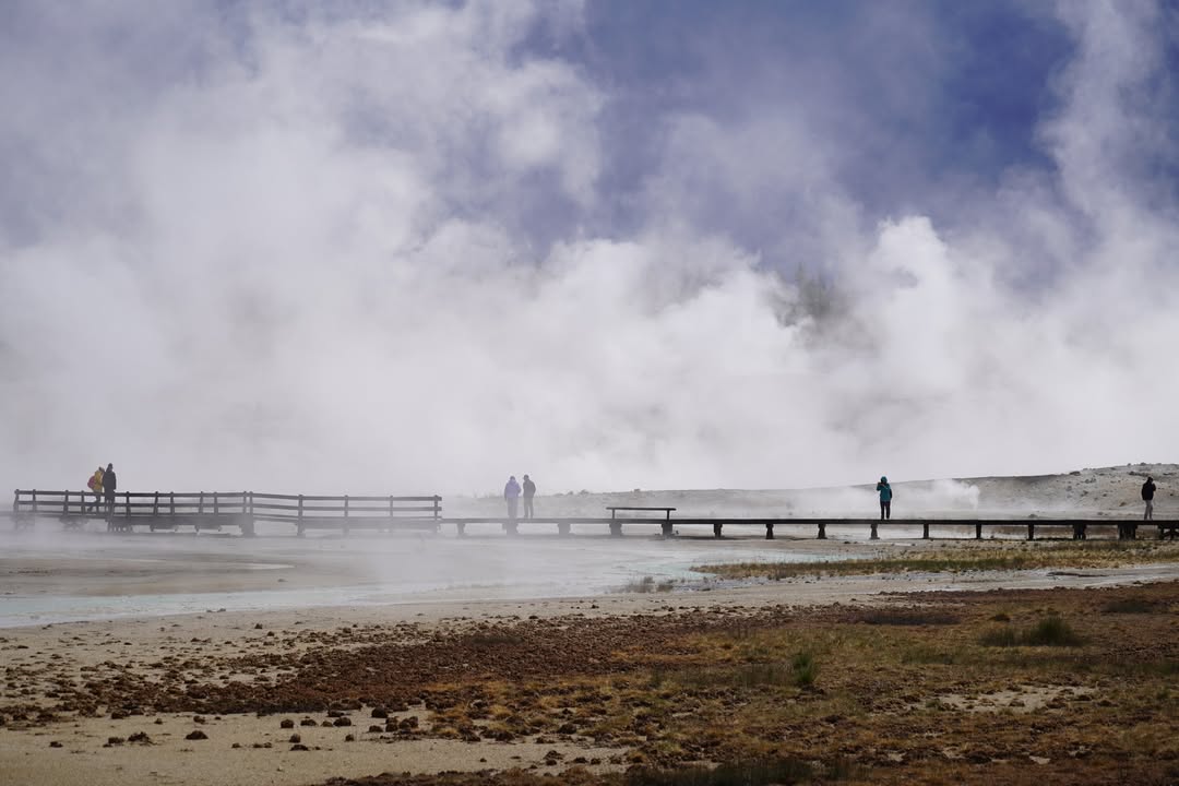
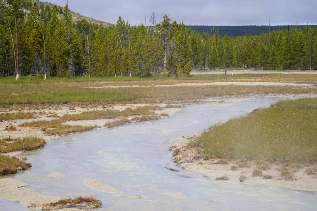
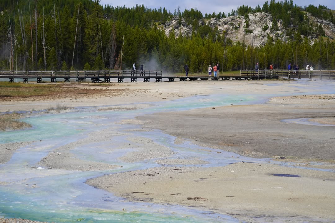
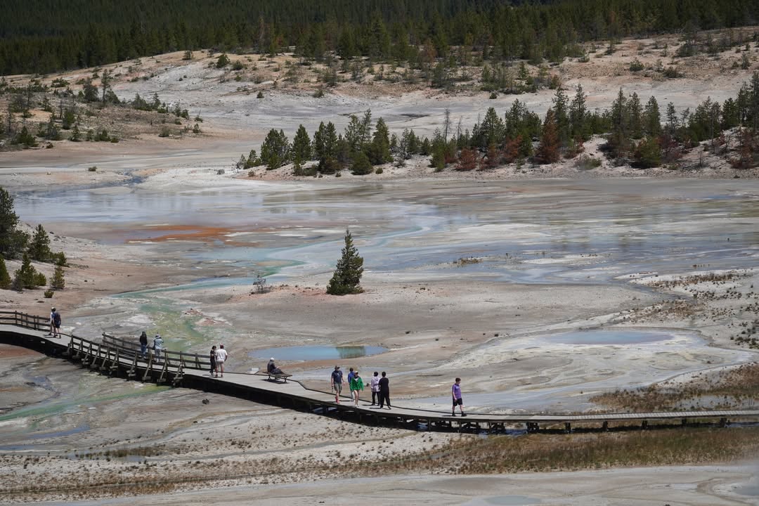
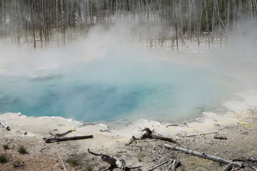
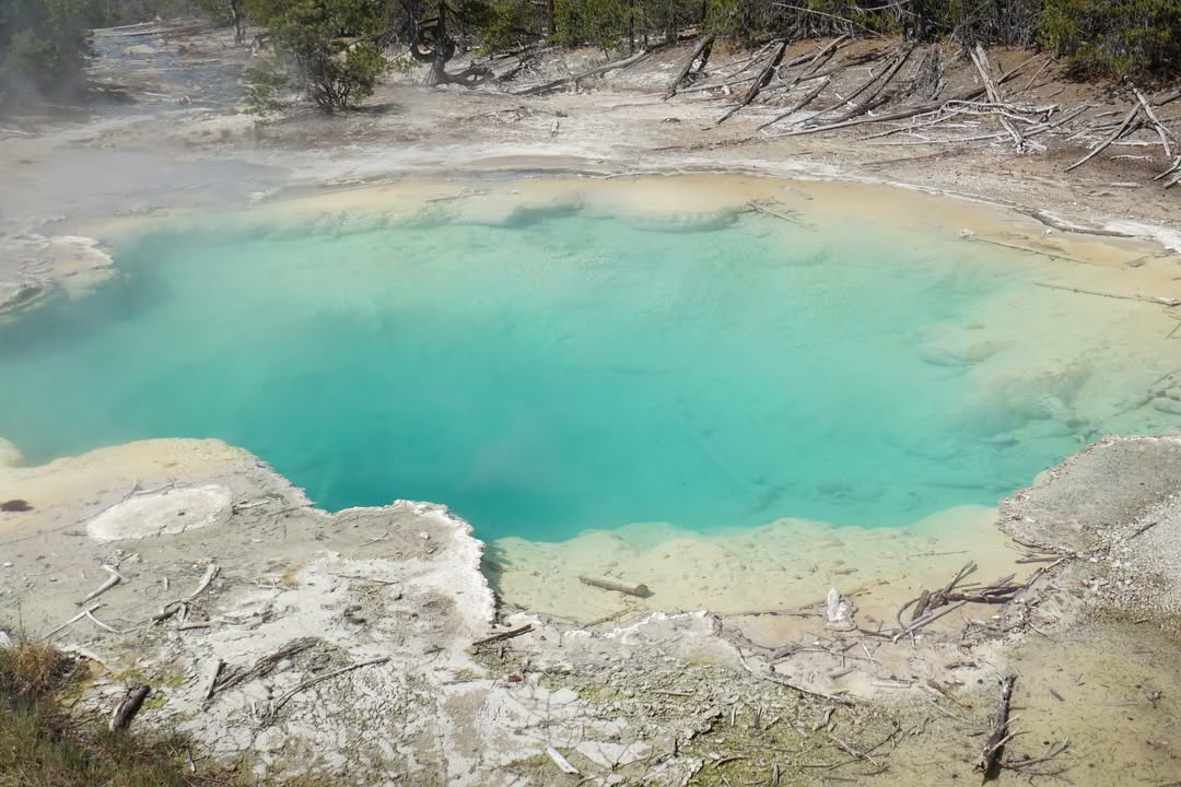
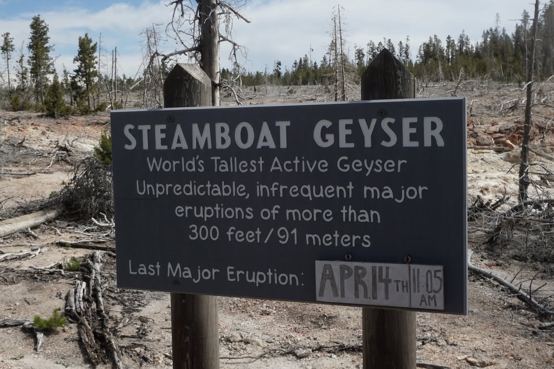
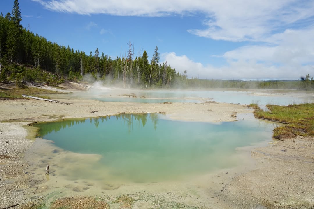
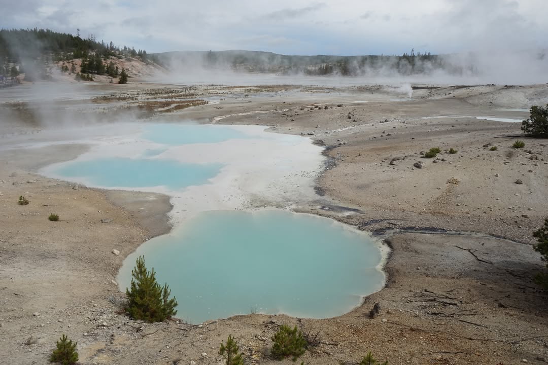
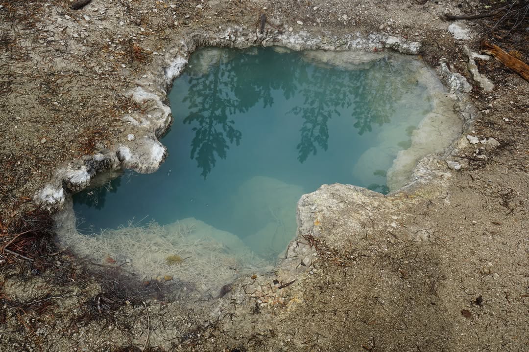
We started with the Porcelain Basin loop, a 0.75 mile boardwalk through a barren, ethereal landscape of colorful springs and thick steam. Then we tackled the Back Basin loop, around 1.5 miles through trees and geothermal features tucked amongst the forest. On this path, we ran into Steamboat. Steamboat last erupted April 14th at 11:05am. As of recent years it has been erupting a few times a year. While it was blowing off plenty of steam, we did not hit the jackpot with an eruption. If we had of, our next course of action would be to find lottery tickets before the luck ran out.
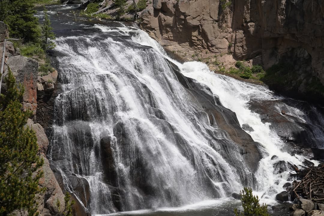
After Norris, we drove south to Virginia Cascades, a 60 foot waterfall on the Gibbon River. There's a roadside pull off with an overlook. Water tumbled over the rocks in a steady roar, framed by dense evergreens on either side.
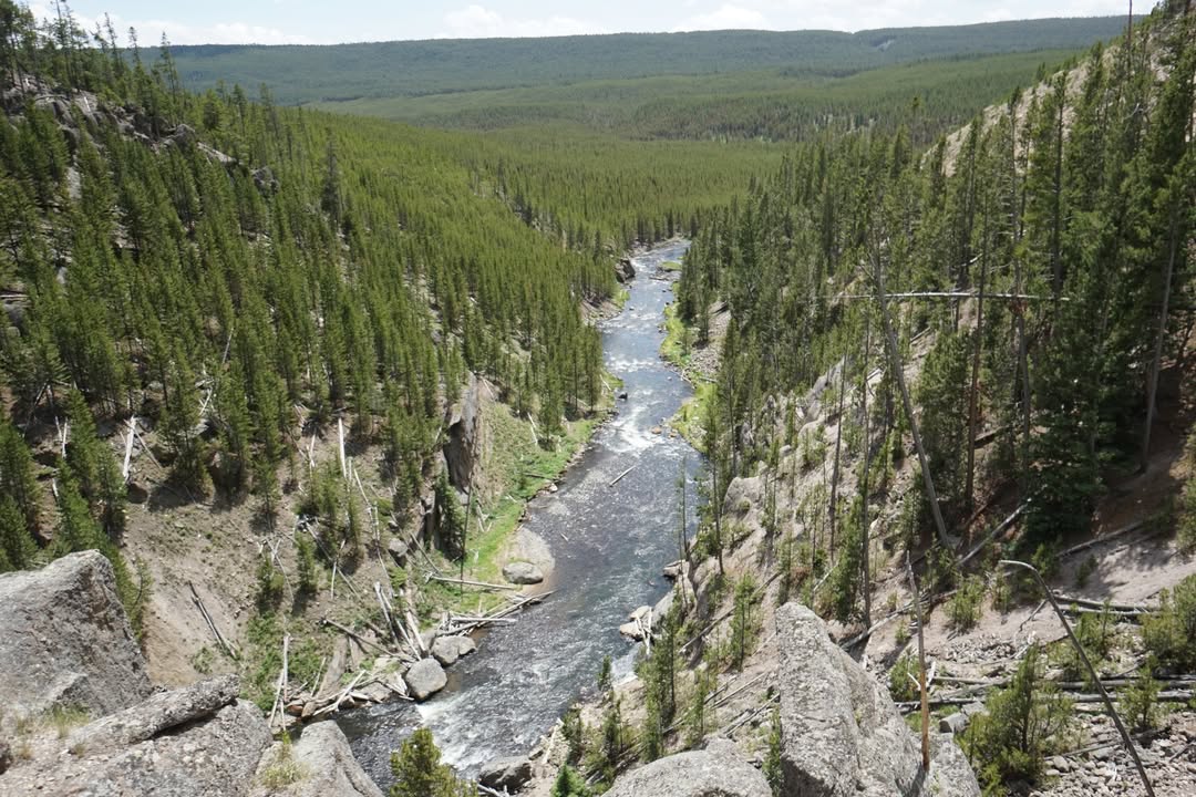
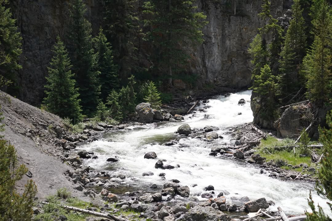
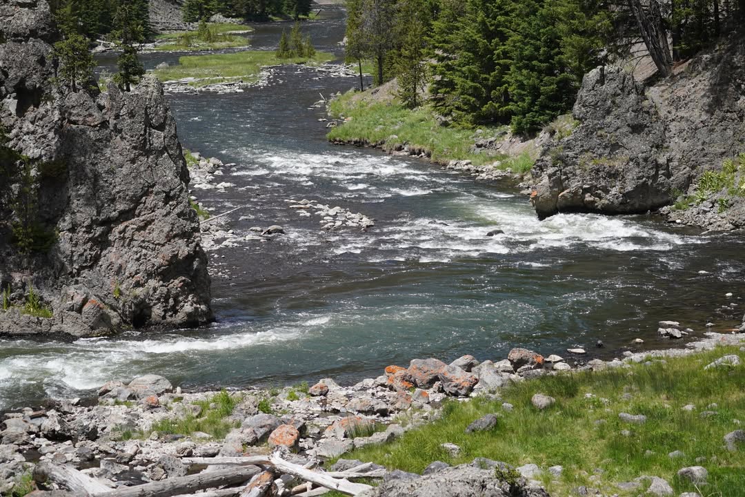
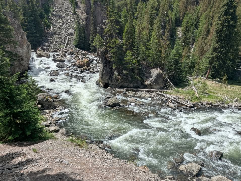
From there, we headed to Firehole Canyon Drive, a scenic one way road that winds along the Firehole River through a narrow volcanic canyon. We stopped at pullouts to take in the views. At one particularly picturesque bend where the river curved sharply, we noticed a steep, unofficial footpath leading down through loose dirt. We carefully made our way down for a closer look. The view from the river’s edge was worth every slippery step.
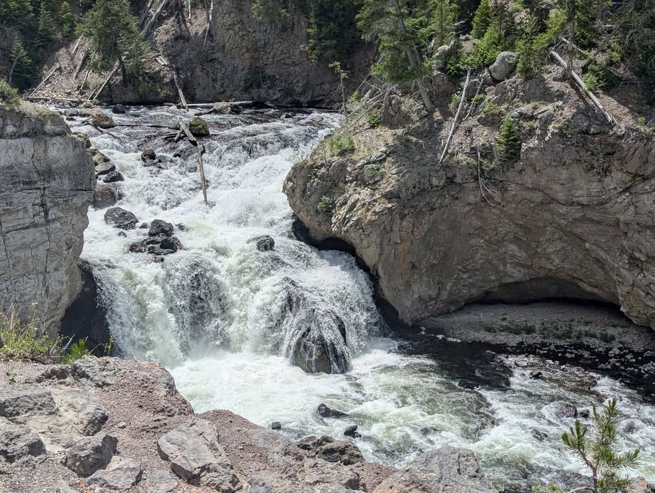
After climbing back out, we continued on to our second waterfall of the day—Firehole Falls. We viewed it from the overlook, where the water thundered down between lava rock walls. Satisfied from a day of beautiful sights, we finished the drive and headed back to Madison Campground.
We started with the Porcelain Basin loop, a 0.75 mile boardwalk through a barren, ethereal landscape of colorful springs and thick steam. Then we tackled the Back Basin loop, around 1.5 miles through trees and geothermal features tucked amongst the forest. On this path, we ran into Steamboat. Steamboat last erupted April 14th at 11:05am. As of recent years it has been erupting a few times a year. While it was blowing off plenty of steam, we did not hit the jackpot with an eruption. If we had of, our next course of action would be to find lottery tickets before the luck ran out.
After Norris, we drove south to Virginia Cascades, a 60 foot waterfall on the Gibbon River. There's a roadside pull off with an overlook. Water tumbled over the rocks in a steady roar, framed by dense evergreens on either side.
From there, we headed to Firehole Canyon Drive, a scenic one way road that winds along the Firehole River through a narrow volcanic canyon. We stopped at pullouts to take in the views. At one particularly picturesque bend where the river curved sharply, we noticed a steep, unofficial footpath leading down through loose dirt. We carefully made our way down for a closer look. The view from the river’s edge was worth every slippery step.
After climbing back out, we continued on to our second waterfall of the day—Firehole Falls. We viewed it from the overlook, where the water thundered down between lava rock walls. Satisfied from a day of beautiful sights, we finished the drive and headed back to Madison Campground.