Queen's Garden and Navajo Loop
2 / 3
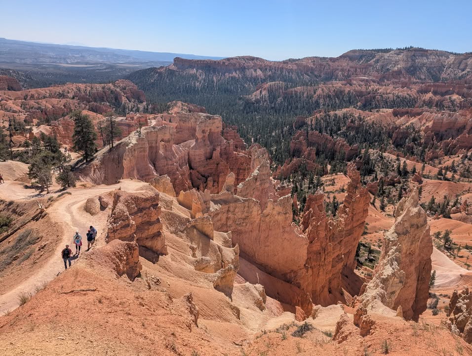
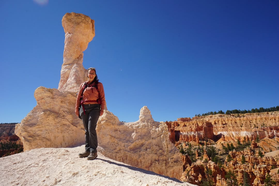
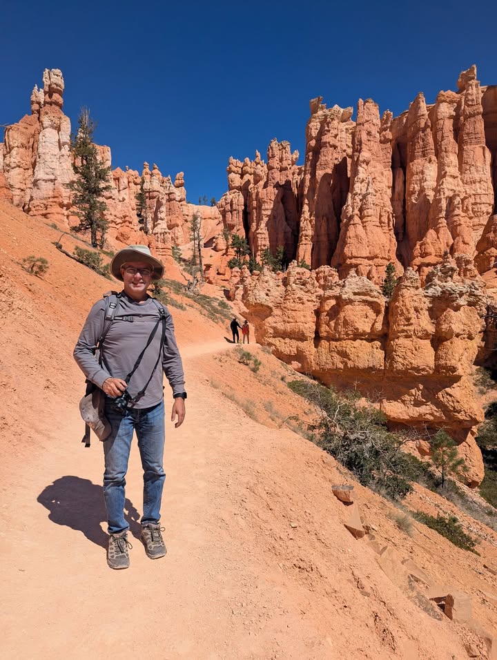
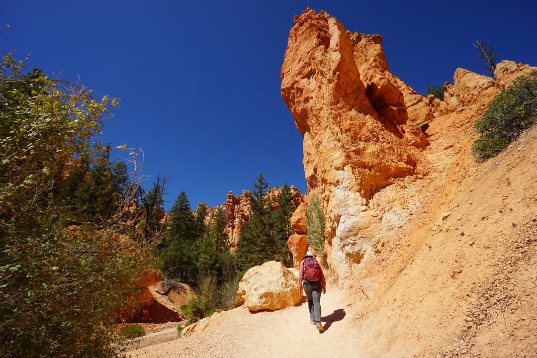
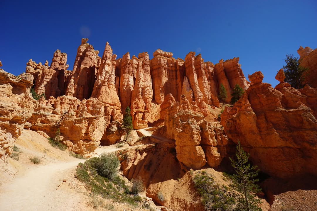
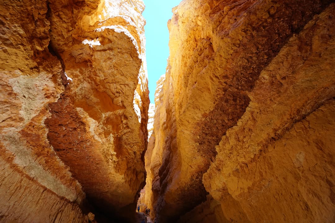
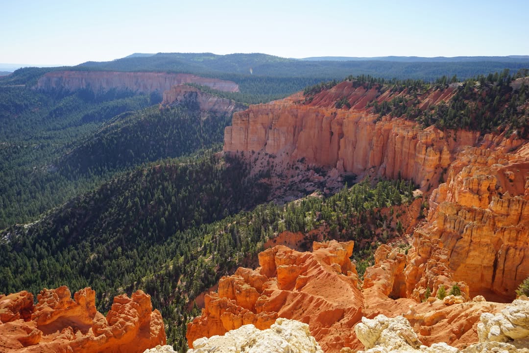
The next morning in Bryce Canyon we set out on the Queen’s Garden and Navajo Loop combination trail, a roughly three mile hike that drops from the rim into the hoodoo filled amphitheater. Dropping off the rim, the hoodoos towered over us and the trail wound through narrow orange walls. Once down on the canyon floor the scale of the formations felt completely different than it did from above, with spires and fins rising in every direction.
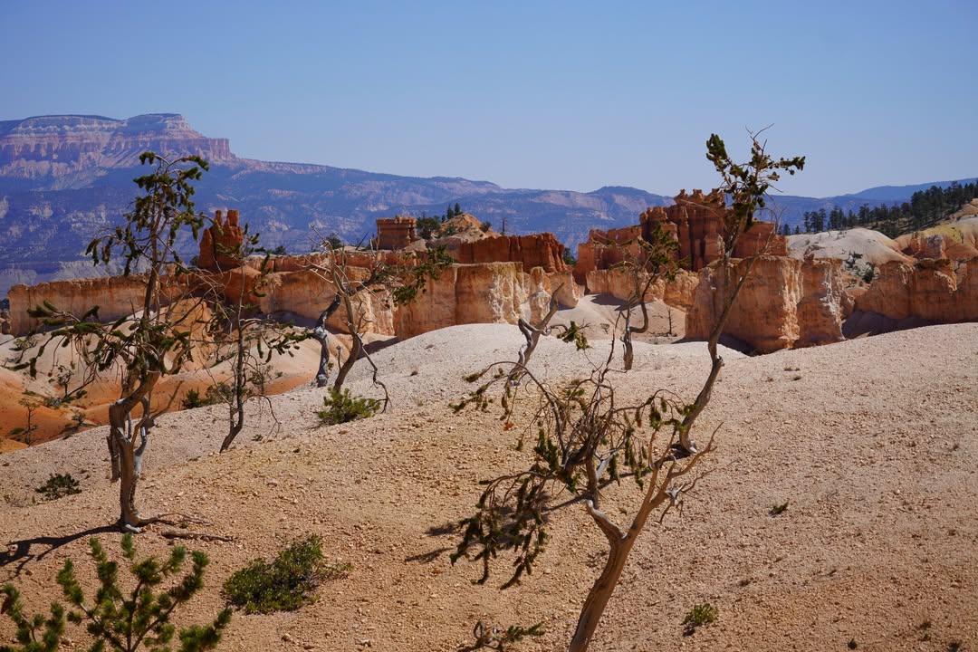
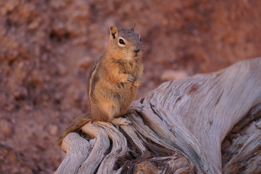
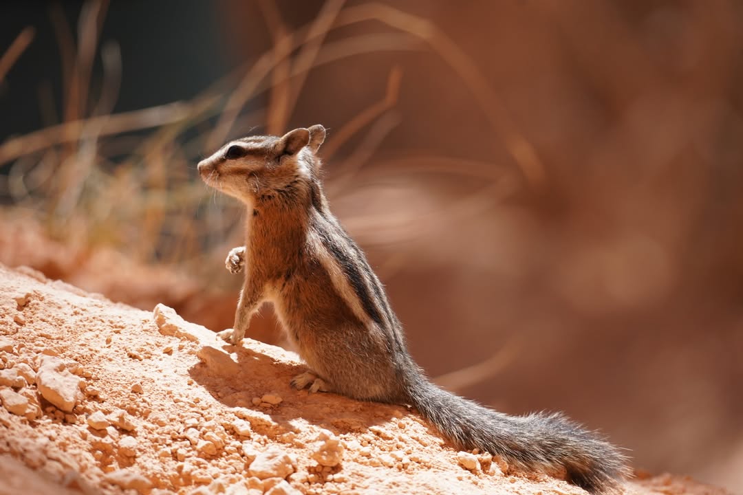
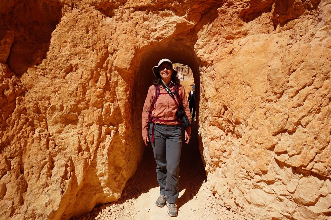
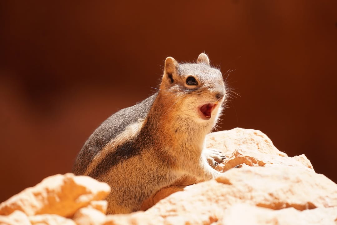
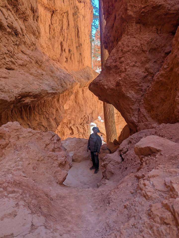
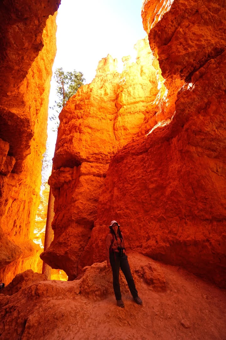
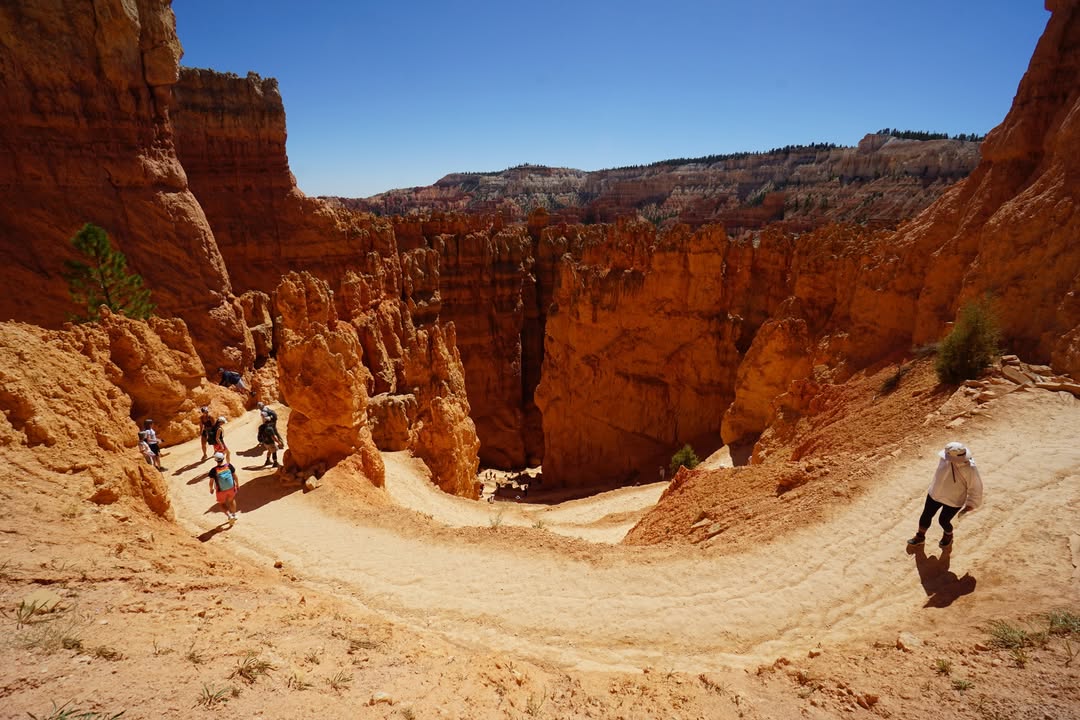
At Queen’s Garden we passed younger bristlecone pines, small and twisted but still likely several centuries old. Around lunchtime we stopped for a short break and were quickly joined by a few Uinta chipmunks darting around the rocks and keeping a hopeful eye on our snacks. Climbing out through Wall Street on the Navajo Loop, the canyon narrowed dramatically and the trail climbed a series of steep switchbacks between towering cliffs before reaching Sunset Point.
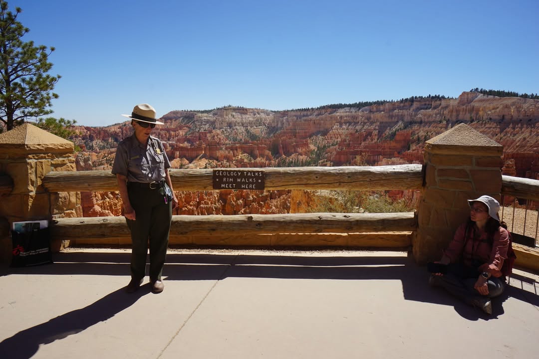
We arrived just in time for a ranger talk at the overlook. We learned how frost and rain carve the Claron Formation, breaking down the limestone and dolomite into spires, fins, and windows. What makes Bryce unique is that it is not a true canyon at all. Canyons are carved by rivers, but Bryce was shaped almost entirely by weather. In the winter there are nearly daily freeze thaw cycles within a single twenty four hour period, and that repeated expansion and contraction slowly sculpts the fins and hoodoos.
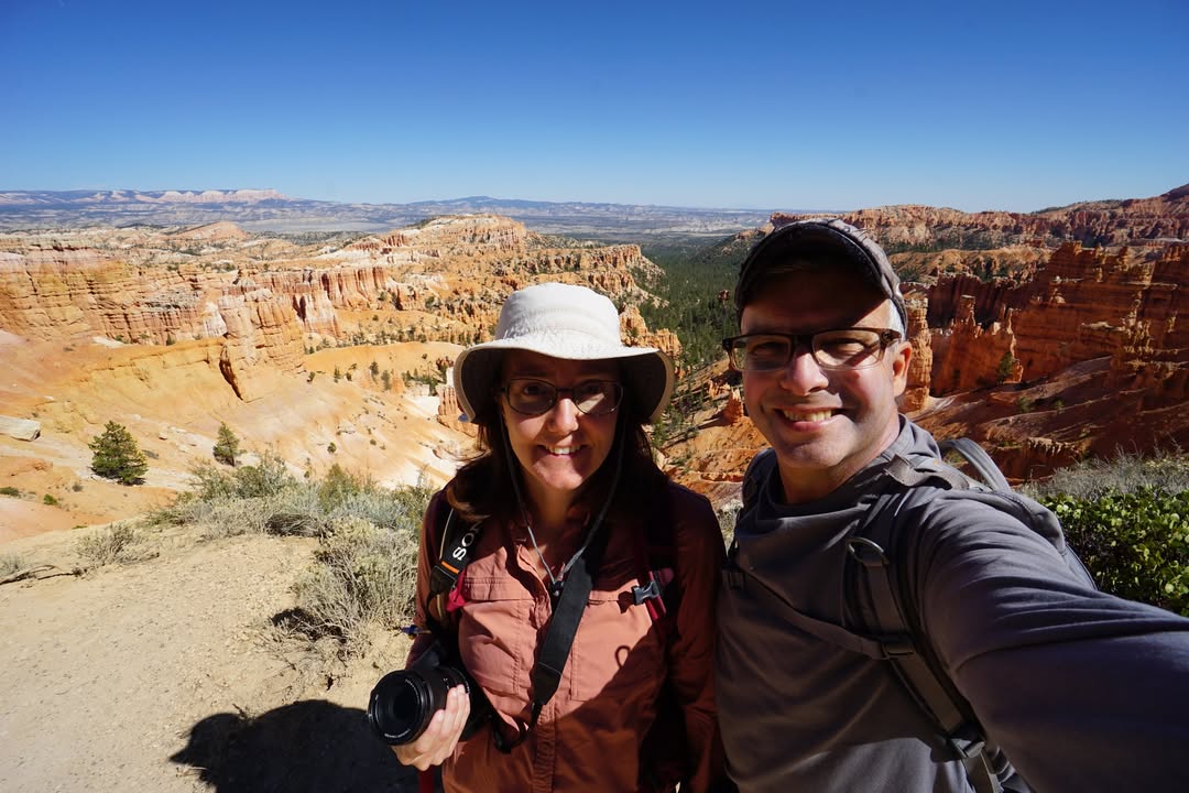
We followed the Rim Trail back to our starting point at Sunrise Point. Later in the day we capped things off with the Bristlecone Loop near Rainbow Point, a quiet one mile trail through the forest with occasional rim views. The bristlecones along the path were smaller ones, with the larger ancient trees growing farther out of sight.
Seeing Bryce from above is impressive, but hiking down into that maze of hoodoos and climbing back out again was next level.
We arrived just in time for a ranger talk at the overlook. We learned how frost and rain carve the Claron Formation, breaking down the limestone and dolomite into spires, fins, and windows. What makes Bryce unique is that it is not a true canyon at all. Canyons are carved by rivers, but Bryce was shaped almost entirely by weather. In the winter there are nearly daily freeze thaw cycles within a single twenty four hour period, and that repeated expansion and contraction slowly sculpts the fins and hoodoos.
We followed the Rim Trail back to our starting point at Sunrise Point. Later in the day we capped things off with the Bristlecone Loop near Rainbow Point, a quiet one mile trail through the forest with occasional rim views. The bristlecones along the path were smaller ones, with the larger ancient trees growing farther out of sight.
Seeing Bryce from above is impressive, but hiking down into that maze of hoodoos and climbing back out again was next level.